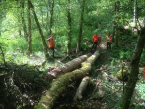
A rainfall-runoff model developed at the University of Leeds is the latest weapon in Calderdale’s efforts to prevent future flooding in the valley. SD-TOPMODEL is currently the only tool able to model the flow of water from hillslopes to the river at a sufficient spatial scale to allow Natural Flood Management (NFM) interventions and land management to be represented accurately for the characteristics of the Calderdale catchment.
An iCASP project using SD-TOPMODEL and starting in November 2018 will contribute to the Calderdale Flood Action Plan by helping to prioritise the siting of future NFM schemes.
