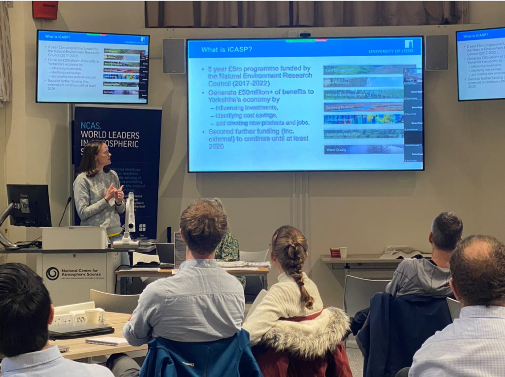
It was a perfect day on Thursday 17 November to be discussing how new surface water flood forecasts could help support resilient decision making.
The heavy rain was a timely reminder of the challenges surface water flooding brings and we had a fantastic turnout at the University of Leeds for our joint workshop with the Met Office and the Flood Forecasting Centre.
The aim of the event was to demonstrate and test the enhanced surface water flood forecast (ESWFF) products that were developed through the iCASP project last summer.
Dr Cathryn Birch, Associate Professor in Meteorology and Climate, and iCASP Impact Translation Fellow Dr Ben Maybee were leading the workshop held at the National Centre for Atmospheric Science (NCAS). Representatives from the local surface water flood response community including local authorities, the Environment Agency, emergency services, academics and flood wardens took part.
Dr Cathryn Birch, University of Leeds, said:
“We had a fantastic response to our workshop. Over the next few months we will further improve the forecasts based on user feedback.
“During the workshop we only considered three case studies so the next step is to quantitatively evaluate the forecasts over a 10 year period to understand whether the system is able to forecast all the known surface water flood events, and the prevalence of false alarms and missed events.”
Surface water flooding occurs when rainfall overwhelms drainage systems and excess water flows over the surface rather than soaking into the ground or entering the sewer system. Around 5 million properties in the UK are at risk of surface water flooding.
Forecasting surface water flooding is extremely challenging because (1) it is generally caused by short-lived, intense storms that are difficult to forecast accurately and (2) it requires a very detailed representation of land use, infrastructure, buildings and ground wetness.
We developed a new surface water flood forecast method that combines existing rainfall forecasts and surface flood risk information in a novel way.
The new forecasts were presented to the workshop participants and tested whether they would make a difference to flood action planning using three Yorkshire based case studies of surface water flooding.
These were:-
- Major flooding in the Yorkshire Dales in late July 2019
- Extremely localised flooding in Shipley last June
- The flood event in Sheffield last August following the breakdown of the second major national heatwave.
Workshop participants saw great value in the new tool and gave useful feedback on how to improve the tool to make it more accessible. The next steps for the project are to evaluate the new flood forecasts over a 10 year historical period to provide quantitative evidence to support the national roll out of the forecasts. A summary report following the workshop is now available.
