
This project builds on the original iCASP Enhanced Surface Water Flood Forecasts project which ran for 14 months from April 2018.
A set of new flood forecast tools were developed with evidence of their potential to improve surface water flood forecasting provision in Yorkshire, and indeed nationally. The enhanced forecasts provide more detail on the time and location of potential surface water flooding up to 36 hours in advance of a flood event, whilst accounting for the uncertainties in forecasting summertime convective rainfall.
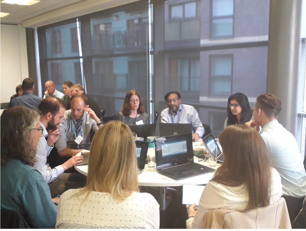
The forecasts were tested during a workshop held for Yorkshire-based forecast providers. Feedback from participants was that the enhanced forecast information would be useful to their organisation but further development and testing is needed if it were to be incorporated into existing operational national surface water flood forecasting provision.
In this bolt-on project, we will further develop the tools to meet the Yorkshire users’ needs, following their recommendations. We will quantitatively evaluate the tools over a historical period of several years and test them with users over an entire summer season through a 2022 Yorkshire Surface Water Flood Forecasting Testbed. Results will inform development of the national scale forecast system and business case(s) for further investment.
The project has strong support from the West Yorkshire Lead Local Flood Authorities and the Flood Forecasting Centre, which works across the parent organisations of the Met Office and Environment Agency to provide flood forecasts for England and Wales.
This project will update the tools to address recommendations that existing static surface water flood risk maps would be better used in forecasting. A simpler ‘look up approach’ could be used, where rather than running a hydraulic model flood in real-time, the rainfall forecasts could be linked to the static surface water flood risk maps to produce a flood forecast. This would massively reduce the expense of the data processing, making operationalising the tool much more practical.
Using historical forecast data over the past 3 to 5 years, the project will provide quantitative evidence that the rainfall processing methodology works and through the Testbed, assess whether or not users find the tools sufficiently useful and complementary to existing provision to justify significant further national investment.
By linking up with current and future national-level projects conducted by the Met Office, Defra, Environment Agency, Flood Forecasting Centre and others the impact legacy of this project will be significant.
The bolt-on project has three work packages:
1. Further co-develop flood forecast tools
2. Quantitative evaluation of tools to develop user-centric confidence 3. User testing through Testbed in Summer 2022
3. User testing through Testbed in Summer 2022
It will produce four key outputs:
Workshop Findings
iCASP Project Team
Project lead: Dr Cathryn Birch
Impact Translation Fellows, Thomas Willis, Dr Ben Maybee,
Dr Steven Boeing, Dr Mark Trigg, Prof Alan Blyth, University of Leeds
Partners
Flood Forecasting Centre, Met Office, University of Oxford
Duration
February 2022 to end January 2023.