
Prioritising Natural Flood Management (NFM) interventions in Calderdale
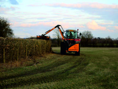
A rainfall run off model (SD-TOPMODEL) developed at the University of Leeds is being used to help prevent flooding in the Calder Valley. The digital model will show the flow of water from hillslopes to the river. This will enable the project team to analyse how and if existing landscape features, such as walls, gates and hedges, and new measures, such as hedge and tree planting, reduce flood risk by storing and slowing flood water.
We investigated the link between land use and management practices and flood levels in the Upper Calderdale valley and the benefit that different landscape-wide NFM interventions might have on reducing flood levels in the valley.
The role of iCASP in this project has been to provide the modelling expertise and the scientific evidence for the Calderdale Flood Action Plan to help prioritise the siting of future NFM schemes. Conclusions will be used to support business cases for further NFM funding for Calderdale and evaluate work already done. It will also help identify research gaps and help communities to understand how working with natural processes can have an impact on flooding.
Partners
Environment Agency
Calderdale Council
Calderdale NFM Operational Group
University of Leeds
Yorkshire Water
Project Team
Tom Willis – iCASP Impact Translation Fellow (link)
Sally Kelling – Environment Agency & Calderdale NFM Operational Group
Jo Arnold – Environment Agency & Calderdale NFM Operational Group
Rosie Holdsworth – Calderdale Council & Calderdale NFM Operational Group Granville Davies – Yorkshire Water & Calderdale NFM Operational Group
Dr Megan Klaar – University of Leeds
Professor Mike Kirkby – University of Leeds
Dr Mark Smith – University of Leeds
Duration
November 2018 – 2021

Outputs
Technical Report
Summary of Calderdale Modelling Report

Appendix B: Hebden Bridge maps
Appendix C: Upper Calder maps
Appendix D: Jumble Hole maps
The personal information we request from you is used exclusively to help us understand the impact and use of the document. By providing your details above and downloading this resource you consent to iCASP contacting you at a later date for feedback on how useful it has been. Your information will be kept secure in accordance with the Data Protection Act; it will be kept confidential and will be retained by iCASP for a maximum period of 10 years. You are under no obligation to respond and you can opt out at any time by contacting [email protected].
Factsheets
Summaries of the main results for different land management practices and NFM interventions. They include a description of the investigative work carried out and the impact of the land management/intervention scenario on flood levels for the three sub-catchments used in our project.