
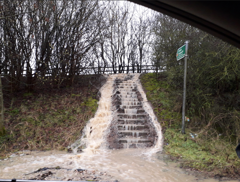
Investigations into creating a digital smart system have proved its success with providing earlier warning of flooding and helping managers to make better decisions to reduce flood-risk.
Research has shown that Long-Range Wide Area Network (LoRaWAN) sensors are a low-cost technology which could support smarter flood-risk management and be rolled out across the country.
Surface water flooding is a growing problem nationally disrupting residents and businesses, and causing substantial damage to properties and infrastructure.
The Digital Smart Flood Warning Systems (DSFWS) project was conducted as part of the West Yorkshire Flood Innovation Programme (WYFLIP) – consisting of the five lead local flood authorities in West Yorkshire, the Environment Agency, West Yorkshire Combined Authority, Yorkshire Water and University of Leeds.
The project team, led by Henry Hargreaves Flood Risk Engineer at Wakefield Council, successfully explored digital smart flood warning systems from their concept to implementation on the ground as pilot studies within West Yorkshire. They gained evidence about the system’s technical capability which showed that sensors could be a practical solution to reducing the devastating impact of surface water flooding in the region by improving monitoring and response times.
Initially WYFLIP successfully bid for £97,000 from the Discovery Phase of round six of the Local Digital Fund to test whether using smart technology for such a system would be viable.
Led by Wakefield Council and University of Leeds, officers worked with environmental technical solutions company Andel, supported by Yorkshire Integrated Catchment Solutions Programme (iCASP), to carry out assessments and pilot the sensors.
During pilot studies the sensors have helped operational flood risk managers within highways, emergency planning and digital programme teams, in local authorities and the Environment Agency, to gain real time knowledge of where surface water flooding is likely to happen. This will allow them to be proactive rather than reactive, taking preventative action sooner, such as activating flood defences, road closures and doing maintenance work including clearing drains. They no longer need to rely on making site visits to monitor places at risk of flooding and can get real time water level sensor data to incorporate into their decisions, providing greater confidence when operating flood management assets.
The plan is to roll the sensors out across the region to improve its resilience to flooding and then to introduce them further afield.
Having this technology will help neighbouring councils to work together more effectively to support communities at risk of flooding.
This early warning system means that people will have time to prepare before potential flooding and have time to make plans to help reduce any impact.” Lou Redpath, Wakefield Council’s Service Director for Environmental Services
Tests carried out within laboratories at University of Leeds have shown that LoRaWAN-connected water-level sensors can provide highly accurate and reliable measurements, increasing confidence for wider deployment.
Digital sensors can make a huge difference to flood resilience not only in West Yorkshire but we want to spread the word so they are rolled out across the country at flood hotspots.” Dr Stephanie Bond, Researcher at University of Leeds
Wakefield Council intends to expand the LoRaWAN network through other flood-risk applications, including culvert monitoring, trash-screen sensors and gully telemetry, while exploring wider opportunities across highways, environmental monitoring and asset management. The pilot has established the foundation for a district-wide smart sensing network capable of supporting more proactive, data-driven service delivery.
Plans for the future:-
- New funding bids are on the horizon from WYFLIP for smart road signs warning of flooding which are connected to smart sensors. Investigations are also underway to consider smart road barriers and access to software which allows multiple organisations to make use of integrated sensors, flood forecasts and warnings on one system.
- Plans are being made to deploy water level sensors at Meanwood Valley Urban Farm as part of a WYFLIP-led blue-green infrastructure demonstrator site.
- Environmental monitoring is being integrated into future teaching extending the project’s educational legacy. An undergraduate module is in the pipeline through working with Computer Science colleagues at University of Leeds. They have plans to bid for funding to expand their current workshops in South Africa to locations in Europe.
- Water quality sensors developed by Andel are being piloted and field trialled by University of Leeds at Fountains Abbey UNESCO World Heritage Site and at Wetherby designated bathing water site and road gullies across Leeds.