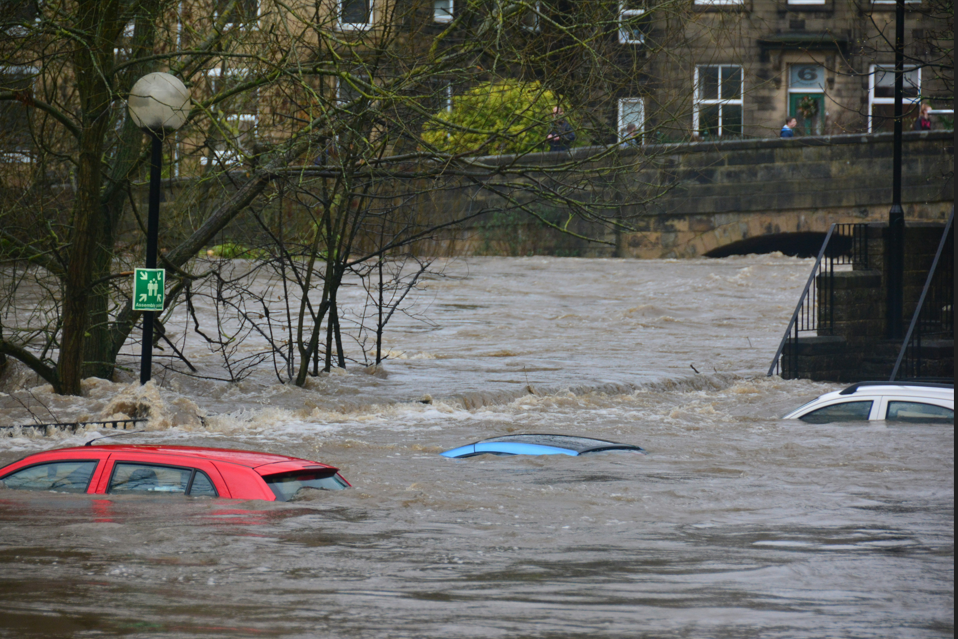
Photo: Thanks to Chris Gallagher, Unsplash
Investigations into creating a digital smart system have demonstrated it has significant potential to provide early warning of surface water flooding and help managers to make better decisions to reduce flood-risk.
Research showed that Long-Range Wide Area Network (LoRaWAN) sensors are a low-cost technology which could support smarter flood-risk management and be rolled out across the country.
The Digital Smart Flood Warning Systems (DSFWS) project was conducted as part of the West Yorkshire Flood Innovation Programme (WYFLIP) – consisting of the five lead local flood authorities in West Yorkshire, the Environment Agency, West Yorkshire Combined Authority, Yorkshire Water and University of Leeds.
Led by Wakefield Council and University of Leeds, the team successfully explored digital smart flood warning systems from its concept to its implementation on the ground as pilot studies within West Yorkshire. They gained evidence about the system’s technical capability and whether sensors could be a practical solution to reducing the devastating impact of surface water flooding in the region by improving monitoring and response times.
The project had three main objectives which were to:
💧Carry out a scientifically rigorous pilot study of surface water sensors in hotspot flood locations across West Yorkshire.
💧Incorporate the latest science into flood management and policy making, sharing learning throughout the region.
💧Develop and test the effectiveness of low-cost surface water sensors.
Making a difference
Early outcomes have been very encouraging. The project has demonstrated that LoRaWAN can provide reliable, real-time environmental monitoring, supporting a shift from reactive to more proactive flood-risk management. Using sensors has improved operational awareness, supported flood-asset management and reduced reliance on site visits.
“Our work has also supported a strong collaborative network between local authorities, researchers, emergency responders and community flood groups, creating a foundation for future regional data sharing and coordinated flood response.”
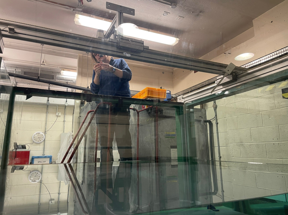
Tests carried out within laboratories at University of Leeds have shown that LoRaWAN-connected water-level sensors can provide highly accurate and reliable measurements, increasing confidence for wider deployment across West Yorkshire.
Our work has also supported a strong collaborative network between local authorities, researchers, emergency responders and community flood groups, creating a foundation for future regional data sharing and coordinated flood response. Dr Stephanie Bond, researcher at Univeristy of Leeds and iCASP Impact Translations Fellow
A working group has been set up to ensure knowledge exchange, ensuring collaborative planning and cross-boundary cooperation. As a result of the project, they have sound evidence to support regional investment in the LoRaWAN system and are planning next steps for its regional rollout.
The project team presented their findings to delegates at the Flood and Coast, in Liverpool, June 2026 and the British Hydrological Society, September 2026 in Leeds.
Using LoRaWAN sensors in Wakefield
The pilot study which uses LoRaWAN-connected water-level sensors at the Agbrigg Flood Alleviation Scheme in Wakefield has improved the awareness and understanding of local flood conditions for flood risk managers during high-risk storm events. They now have the near real-time data needed to be more proactive rather than reactive. They no longer have to rely on site visits and can incorporate real time water level sensor data into their decisions, providing greater confidence when operating flood management assets.
We have confidence in the reliability of the technology and its potential to support more proactive flood-risk management, while also establishing a foundation for wider deployment across the district and the future integration of additional environmental and asset-monitoring applications. Henry Hargreaves, Flood Risk Engineer, Wakefield Council
Henry added that the project has also demonstrated the value of collaborative working.
Wakefield Council intends to expand the LoRaWAN network through other flood-risk applications, including culvert monitoring, trash-screen sensors and gully telemetry, while exploring wider opportunities across highways, environmental monitoring and asset management. The pilot has established the foundation for a district-wide smart sensing network capable of supporting more proactive, data-driven service delivery.”
Key outcomes from the project
✔️Successfully established and tested a complete LoRaWAN monitoring system, including sensors, sensor mounting structures gateways, cloud platforms and dashboards displaying sensor data,
✔️Demonstrated that LoRaWAN-enabled monitoring can provide real-time environmental data useful for operational flood risk management. Identified the importance of where sensors are situated for monitoring purposes, for example characteristics of the site and environmental conditions.
✔️Achieved a better understanding of opportunities and limitations associated with digital smart flood warning systems through an assessment of examples of good practice throughout the UK, including the use of smart technologies for flood mitigation and how they were used by private and public sector bodies, and by community flood groups.
✔️Pilot studies were carried out to test sensors at Agbrigg Retention Basin in Wakefield. Long-term analysis of how the Agbrigg sensor performs is ongoing and will inform a wider rollout across Wakefield. Other pilots are being run across West Yorkshire in collaboration with Leeds City Council and University of Leeds.
✔️Recommendations produced for sensor selection and operation based on evidence from laboratory testing and use in the field. Practical guidance has been developed on integrated systems, data pipelines and sensor mounting for local authorities and partners.
✔️A workshop was organised for communities to teach them to build their own sensors. This has created new opportunities for citizen science and community-based environmental monitoring.
What’s next?
💦The University of Leeds is now involved in multiple pilot projects for sensors across West and North Yorkshire. Data is being collated and a comparison made of sensor performance.
💦New funding bids are on the horizon from WYFLIP for smart road signs warning of flooding which are connected to smart sensors. Investigations are also underway to consider smart road barriers and access to software (MapRain or similar) which allows multiple organisations to make use of integrated sensors, flood forecasts and warnings on one system.
💦Plans are being made to deploy water level sensors at Meanwood Valley Urban Farm as part of a WYFLIP-led blue-green infrastructure demonstrator site.
💦Environmental monitoring is being integrated into future teaching extending the project’s educational legacy. An undergraduate module is in the pipeline through working with Computer Science[1]based colleagues at University of Leeds. They have plans to bid for funding to expand their current workshops in South Africa to locations in Europe.
💦Water quality sensors developed by Andel are being piloted and field trialled by University of Leeds at Fountains Abbey UNESCO World Heritage Site and at Wetherby designated bathing water site and road gullies across Leeds.
You can find out about all the project outputs which have been published open source through iCASP, ensuring that lessons learned can be used by other local authorities, researchers and community organisations beyond West Yorkshire.
Pictured is Dr Gareth Keevil, Experimental Officer in the Sorby Environmental Fluid Dynamics Laboratory, University of Leeds