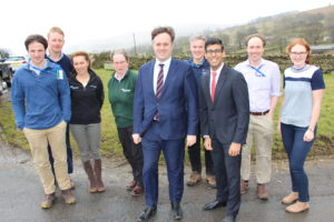
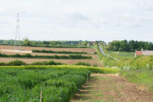
The latest iCASP Project will help advise the Don Catchment Rivers Trust on their Hidden Heritage Secret Streams project. This is based on the Upper Rother Catchment, a tributary of the River Don. One of the aims of the project is to improve the way land is managed so that it provides both social and heritage benefits.
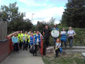
Volunteers will be recruited to put in place small and simple changes to reduce river pollution from different sources, slow the rate at which water flows down the river, and make it easier for different species to flourish by ensuring suitable habitats are connected up in the landscape.
At the moment, it’s difficult to prioritise what should be done because there isn’t enough available information on the different options and whether they can be carried out by volunteers. This is where iCASP can add most value.
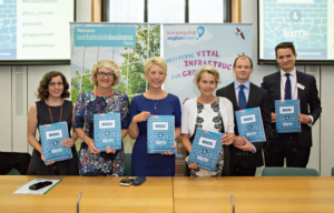 A new report, Bricks and Water, which iCASP helped to inform, has been published by the
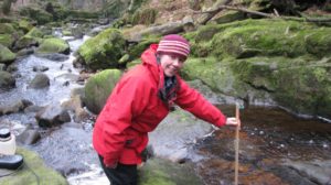
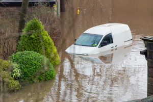 Yorkshire is prone to all sources of inland flooding: from rivers, rising groundwater, flash floods and prolonged heavy rainfall which can cause surface water flooding. Arguably flooding from rivers is more straightforward to forecast because rises in water level can be measured and seen in advance. However, in the case of rainfall, it is harder to forecast precisely where heavy prolonged rain is going to fall and therefore if that rainfall will cause surface water flooding by landing somewhere with inadequate drainage.