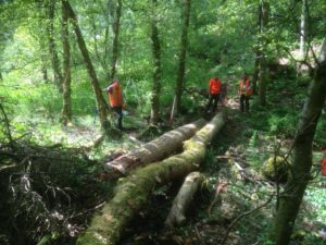
A rainfall-runoff model developed at the University of Leeds is the latest weapon in Calderdale’s efforts to prevent future flooding in the valley. SD-TOPMODEL is currently the only tool able to model the flow of water from hillslopes to the river at a sufficient spatial scale to allow Natural Flood Management (NFM) interventions and land management to be represented accurately for the characteristics of the Calderdale catchment.
An iCASP project using SD-TOPMODEL and starting in November 2018 will contribute to the Calderdale Flood Action Plan by helping to prioritise the siting of future NFM schemes.
Analysis will be done to understand how and if existing (walls, gates, hedges) and new (hedges, tree planting) landscape features can reduce flood risk by storing and slowing flood water. Conclusions will be used to bolster future business cases and evaluations of work to date. The project will also help to identify research gaps and provide information for communities illustrating how NFM interventions can have an impact on flooding. There is considerable interest from across Yorkshire in learning from the experiences in Calderdale which has been allocated £1million of funds (from the £35million of Defra-booster funding) to support delivery of NFM actions in the Calderdale Flood Action Plan.
