
Providing evidence to improve land management with multiple benefits
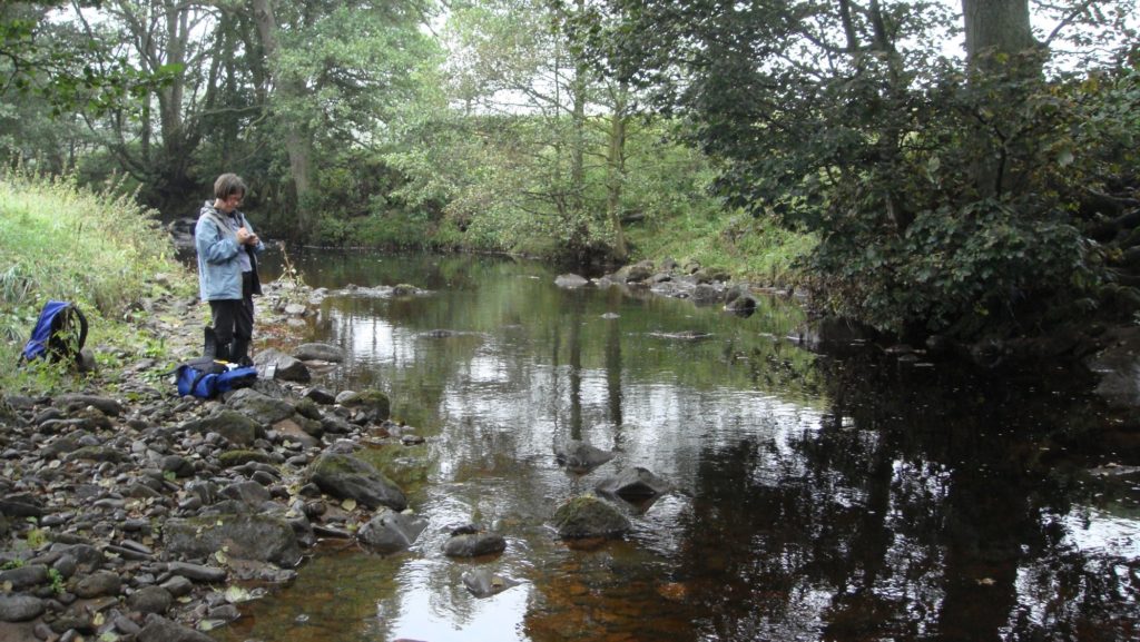
iCASP is advising the Don Catchment Rivers Trust on their National Lottery Heritage Funded Hidden Heritage Secret Streams (HHSS) project. This is based on the Upper Rother Catchment, a tributary of the River Don.
One of the aims of the project is to improve the way land is managed so that it provides both social and heritage benefits. It will focus on reducing diffuse pollution from different sources, slow the rate at which water flows within the catchment and make it easier for different species to flourish by ensuring suitable habitats are connected up in the landscape. At the moment, it’s difficult to prioritise what should be done and whether volunteers can do it. The available information has not been consolidated or analysed at high enough resolutions to understand which areas require land management. This is where iCASP can add the most value.
Drawing on academic expertise, the project will assess land-management options proposed in the HHSS project, collate open-source data and produce opportunity maps. The lessons learnt can be used by other neighbouring and national catchments.
The project will draw on lessons learned from the following iCASP projects: The Derwent Data Finder and Modelling NFM pilots across Yorkshire.
Partners
Don Catchment Rivers Trust
University of Leeds
University of Sheffield
University of York
Project Team
Prof. Lorraine Maltby & Prof. Phil Warren – University of Sheffield
Prof. Colin Brown – University of York
Prof. Pippa Chapman, Dr. Paul Kay, Dr Megan Klaar & Dr. Chris Hassall – University of Leeds
Dr. Janet Richardson – iCASP Impact Translation Fellow
Dr. Ed Shaw & Rachel Walker – Don Catchment Rivers Trust
Duration
September 2018 – January 2019
Outputs
These include two reports on the overall project and three case studies on erosion risk, habitat connectivity and overland flow.
Main reports
Don Catchment Main Report
Download – Don Catchment Main Report
Don Catchment GIS Methods Report
Download – Don Catchment GIS Methods Report
The personal information we request from you is used exclusively to help us understand the impact and use of the document. By providing your details and downloading this resource you consent to iCASP contacting you at a later date for feedback on how useful it has been. Your information will be kept secure by the Data Protection Act; it will be kept confidential and will be retained by iCASP for a maximum period of 10 years. You are under no obligation to respond and you can opt-out at any time by contacting [email protected].
Case studies
We have also produced sub-catchment opportunity maps of the 6 sub-catchments not covered in detail in the main report, please get in touch if you would like to have copies of these (or associated GIS data).
The GIS Methods Report details a step-by-step guide to producing hotspot and opportunity maps, including the use of satellite imagery to produce high-resolution land use maps. These reports are not intended for complete beginners to GIS mapping to pick up and use. If you have not used GIS for mapping and processing data before you may find these links helpful in gaining basic skills in GIS before you attempt to apply the work outlined here to your area of interest.
Useful resources: GIS guidance and tools