
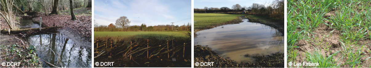
Providing natural flood management (NFM) interventions with a quantified impact on flood risk
This project will allow a more strategic approach to be taken when implementing NFM by providing information that will help target areas with the greatest impact on reducing flood risk. It will focus on different intervention types in the Upper Rother by modelling three sub-catchments. Interventions such as soil management and tree planting will be prioritised by working with landowners and stakeholders within the sub-catchments.
SD-top model will be used by iCASP during this project which is a hydrological model capable of modelling flow through a catchment and can be modified to represent different interventions and will be used during this project. The model can, for example, be used to explore the following questions, how many interventions are needed to produce a 5% reduction in flood risk? Where are interventions for the biggest impacts? SD-TOPMODEL has been used to address these problems in another iCASP project that investigated the impact of land use management on flooding in the Upper Calder Valley.
Modelling data provided by this project will provide a directory of evidence to be used by NFM practitioners to help them decide which interventions are best placed for these particular catchments within the Upper Rother by quantifying the impact of flood-related benefits. This will allow for interventions to be prioritised. There is an increasing need to quantify the outcomes of NFM, especially when trying to release funding for catchments, modelling offers one way to help showcase the impacts of NFM and to make sure they are in the most effective locations.
This project is a follow-up project to the Don Hidden Heritage Secret Streams iCASP project, which brought together open-access data to map the best sites for interventions by creating hotspots (risk) and opportunity maps. In that project, interventions were chosen which would help slow the flow, decrease diffuse pollution and increase landscape connectivity.
A series of technical and non-technical reports have been produced based on the results of the project.
Moss Brook short report
Non-technical summary
River Hipper short report
Non-technical summary
Spital Brook short report
Non-technical summary
The need for Natural Flood Management
A summary of the different types of NFM and why they are needed.
An overview of modelling: SD-TOPMODEL
A description of SD-TOPMODEL and its use in the Upper Rother project.
The use of workshops
The use of stakeholder input and local expertise used to influence project outcomes
Modelling the Moss Brook catchment
The full Moss Brook modelling report
Modelling the River Hipper catchment
The full River Hipper modelling report
Modelling the Spital Brook catchment
The full Spital Brook modelling report
Project summary
Full project summary and next steps
Partners
Don Catchment Rivers Trust (DCRT)
University of Leeds
University of York
Environment Agency
Derbyshire County Council
North East Derbyshire District Council
Chesterfield Borough Council
Project Team
Dr Megan Klaar – University of Leeds
Prof Colin Brown – University of York
Dr Janet Richardson, Dr Stephanie Bond & Dr Thomas Willis – iCASP Impact Translation Fellows
Dr Debbie Coldwell & Dr Ed Shaw – Don Catchment Rivers Trust
Duration
April 2021 – October 2022